You can use WFS to get all available images in the AOI. See this FAQ about it. In WFS response you will also get scene geometries, which you can intersect with your AOI and see, whether it is full covered or not. This option takes some more programming.
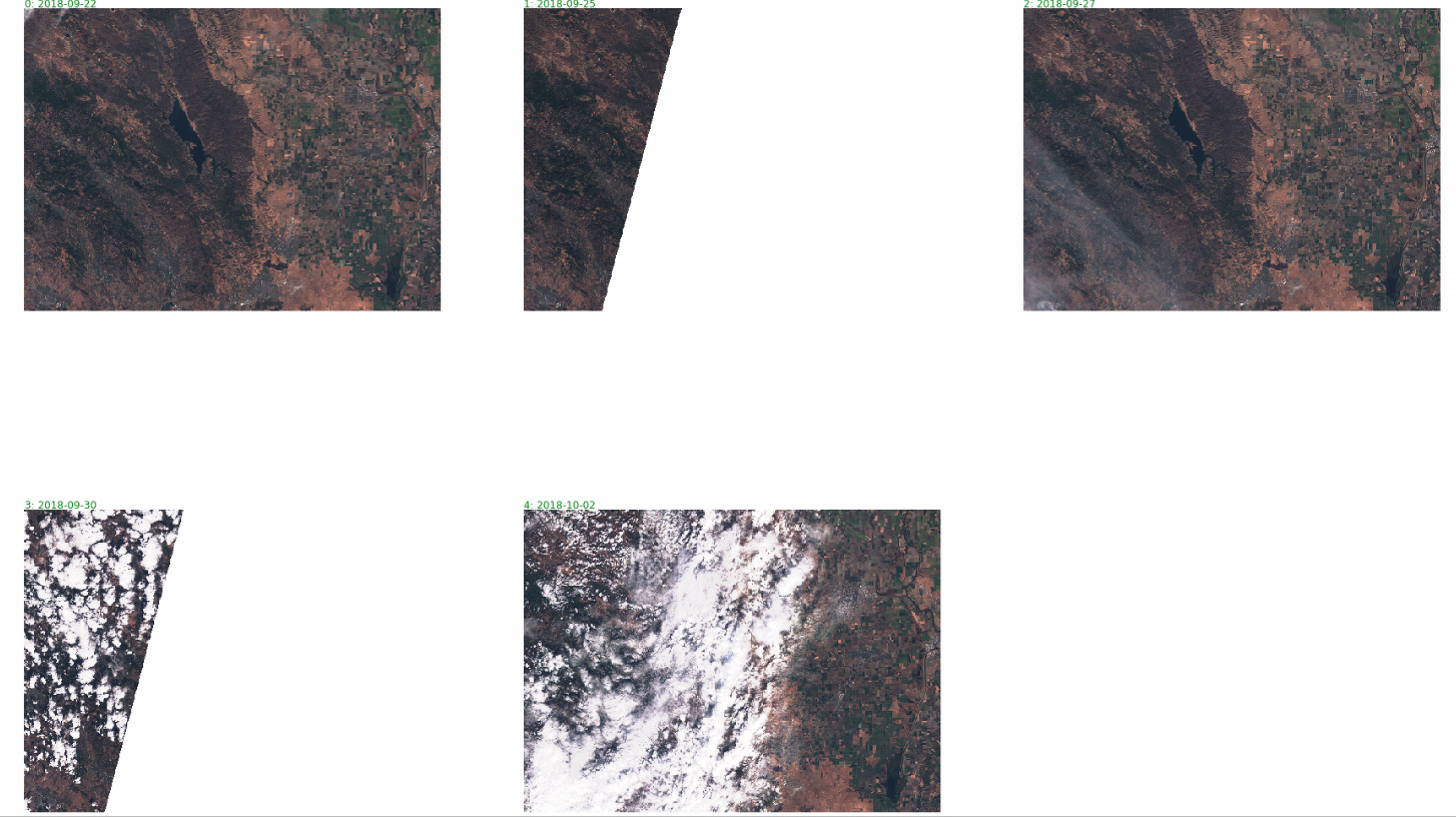
(recommended) Instead of WFS, do use Statistical API to get available dates of the imagery in the area, similarly as it is described here for AOI-based cloud coverage filtering. However, instead of cloud coverage you can define a simple EO product, which will return 1 if there actually are values and 0 if there are not. The statistical average will then tell you, whether full image is covered (e.g. 1) or just part (e.g.0.42). This post describes a similar problem.
If you go for option 2, you can actually get cloud coverage and image coverage at the same time, you simply store each value in its own “output band”.
We are working on next version of the API, which will have “nodata” value handling implemented in the better way, expect first release towards the end of Q1 2019.
Waw with Statistical API I can get cloud coverage of an AOI !!
I’m truying to develop a script to do it for several weeks (i’m a junior user of python) with s2cloud detector etc…
The cloud detection functions described in the FAQ above are not as good as s2cloudless, but are mostly just OK. So you should definitely give it a try.