I am still new to using sentinel hub for my sentinel 2 image download. At work we use the sentinel hub configuration utility to generate some of or index maps. Can someone please guide me on how I would go about configuring a wms which would allow me to download and open atmospherically corrected images in QGIS which I can do further processing on. I need access to bands 2,3,4,5,6,7,8,8a,11,12. I am based in Africa and therefore cant use the recent L2a products which only cover europe.
My study area is large and I would like to run a land classification on multiple sentinel2 tiles. Downloading and atmospheric correction manually is consuming far too much of my time. Any advice on how to set up a wms that would allow me to download atmospherically corrected sentinel 2 tiles in QGIS for this purpose would be greatly appreciated.
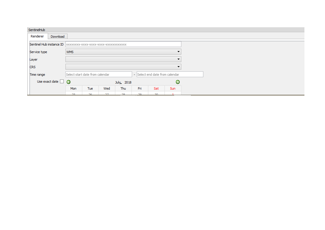
Thank you for your response. I have got the SentinelHub pluggin, however you need to have the instance code for the WMS on hand. I need to configure a wms which would generate the output to pull into QGIS. I am unsure how to configure a WMS which would give me the output I am looking for.
i then insert my instance ID and select the Layer I need. How do I configure a layer which will give me atmospherically corrected tiles including the fore mentioned bands for my target area.
I currently use sen2cor for my atmospheric correction, so if I am understanding correcty the ATMCOR algorithm should do a similar thing. This should work for me. How do I now configure the layer to do this for all the above mentioned bands in a tile. I can currently only see how to do this for individual bands?
As shown in the second link of @miha’s post you can enable ATMCOR for each layer in Configurator. You just set “Atmospheric correction” parameter to “FULL”. Also your “Source” has to be set to “Sentinel S2 - L1C”.
You can either create a layer for each band separately or you can define one layer that will return all desired bands at once. This can be done by setting “Data processing” parameter in Configurator to the following custom script:
return [B02,B03,B04,B05,B06,B07,B08,B8A,B11,B12]
Note: In QGIS in order to download data from this 10-channel layer you have to use one of TIFF data formats. To obtain reflectance values in interval [0,1] you have to use 32-bit float TIFF.