I get an exception in xml:
Invalid instance id: f881dd93-e646-4da0-bb82-23c976103897
I run it via web browser by entering URL
and what more, it a request from original email sent by sentinel hub upon registration.
Why it returns me the invalid instance error and how to fix it please.
Thank you.
Hi Jesus,
I believe you have deleted the initial configuration, that is created when opening a new account. Looking in your profile I see that you created a new instance “abaa5a25-d5cf-MASKED” (I am not writing here the full instance to avoid someone abusing it).
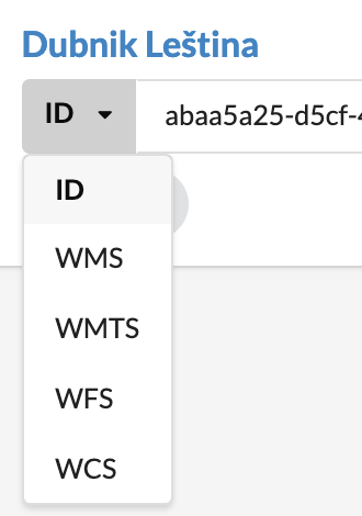
Go to configuration utility: https://apps.sentinel-hub.com/dashboard/#/configurations
and copy your new instance’s URL:
Ah, thank you very much, it is still new to me.
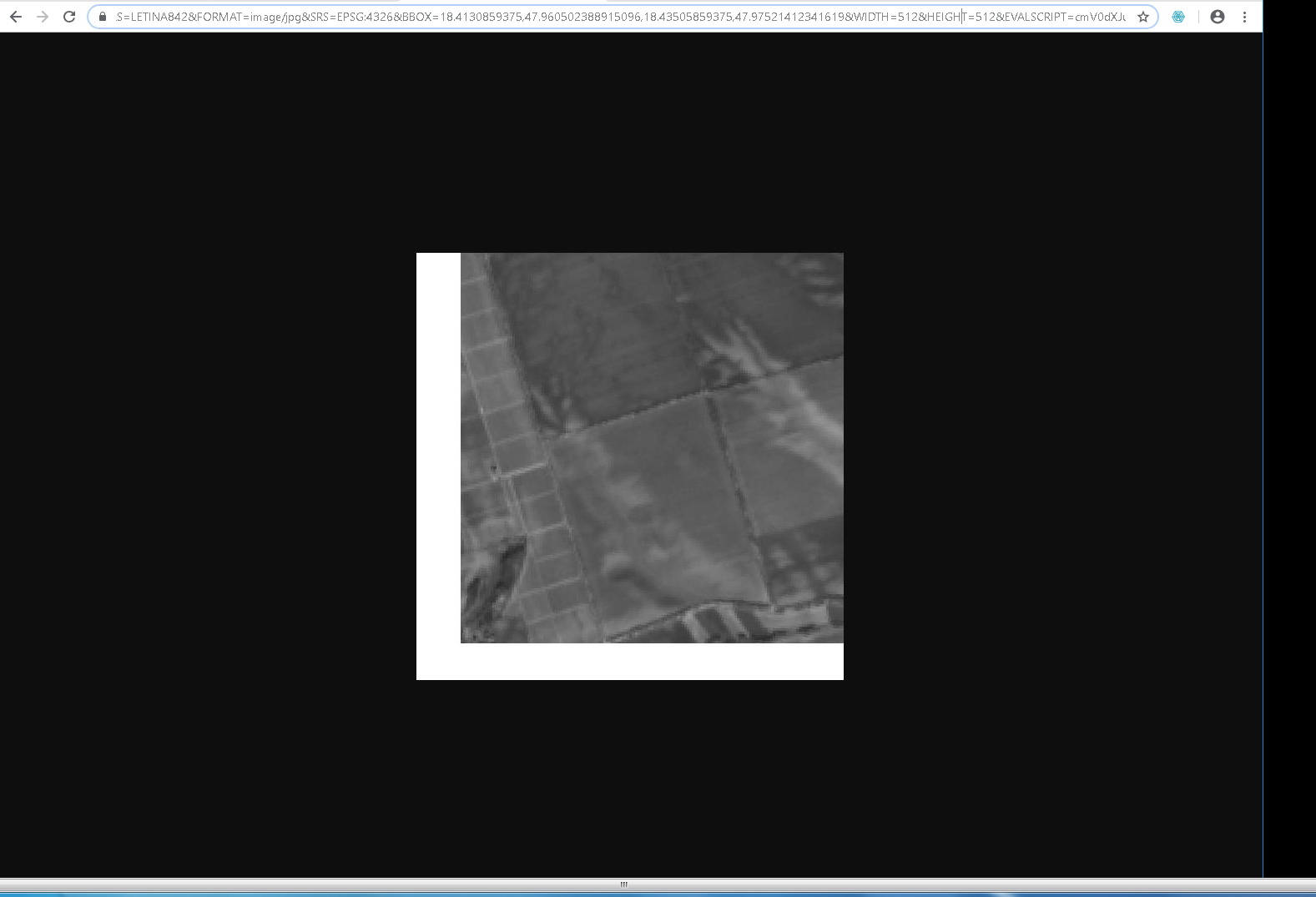
While there, perhaps could you help me with another problem? I have a bounding box defined for my layer. It displays correctly in preview, playground, even in the browser when converted to script. But when a wms query is generated, it draws a thick white L frame around border - see pictures.
Can you help me with this? Thank you much!
Thank you, I suppose, that it has to do something with the square. The bounds I defined are not perfect square so this is the reason of cropping. But using the bounds tool, I cannot select the square, only rectangle. The extra size of rectangle gets cropped.
Leaflet is using square BBOX parameters for individual tiles. Sentinel Hub service allows any geometry to be passed for clipping.
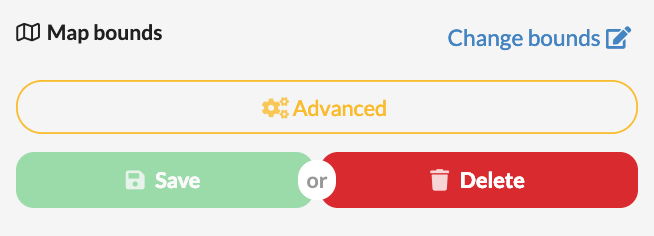
I am not sure, what your use-case it, but unless you really want to have the rectangle cropped, you can simply delete these bounds. If you want to crop per field boundaries, you will have to integrate this in your Leaflet app. See information on how to do that with the service here: https://www.sentinel-hub.com/faq/how-can-i-clip-image-specific-polygon