m_sig
October 15, 2024, 3:23pm
1
How to consume ESA Worldcover (ESA WorldCover - Sentinel Hub Collections ) on a web page with javascript?
I can already consume and present sentinel and landsat layers normally, but now I’m trying to consume some of these collections (https://collections.sentinel-hub.com/ )
Can anyone show me a simple example code?
gmilcinski
October 15, 2024, 4:01pm
2
You will need to refer to a specific collection, see “Type” here:https://collections.sentinel-hub.com/worldcover/
An example of a request:
curl -X POST https://services.sentinel-hub.com/api/v1/process \
 -H 'Content-Type: application/json' \
 -H 'Authorization: Bearer <AUTH_TOKEN>' \
 -d '{
  "input": {
    "bounds": {
      "bbox": [
        12.44693,
        41.870072,
        12.541001,
        41.917096
      ]
    },
    "data": [
      {
        "dataFilter": {
          "timeRange": {
            "from": "2021-01-01T00:00:00Z",
            "to": "2021-01-01T23:59:59Z"
          }
        },
        "type": "byoc-0b940c63-45dd-4e6b-8019-c3660b81b884"
      }
    ]
  },
  "output": {
    "width": 512,
    "height": 343.697,
    "responses": [
      {
        "identifier": "default",
        "format": {
          "type": "image/jpeg"
        }
      }
    ]
  },
  "evalscript": "//VERSION=3\n\n// This custom script visualises WorldCover map \n\nfunction setup() {\n  return {\n    input: [\"Map\", \"dataMask\"],\n    output: { \n      bands: 4, \n      sampleType: \"AUTO\"\n    }\n  }\n}\n\nconst map = [\n    [10, 0x006400], // Tree cover\n    [20, 0xffbb22], // Shrubland\n    [30, 0xffff4c], // Grassland\n    [40, 0xf096ff], // Cropland\n    [50, 0xfa0000], // Built up\n    [60, 0xb4b4b4], // Bare / sparse vegetation\n    [70, 0xf0f0f0], //\tSnow and Ice\n    [80, 0x0064c8], //\tPermanent water bodies\n    [90, 0x0096a0], //\tHerbaceous wetland\n    [95, 0x00cf75], //\tMangroves\n    [100, 0xfae6a0], //\tMoss and lichen\n    \n  ];\n\nconst visualizer = new ColorMapVisualizer(map);\n\nfunction evaluatePixel(sample) {\n  return [visualizer.process(sample.Map)[0], visualizer.process(sample.Map)[1], visualizer.process(sample.Map)[2], sample.dataMask];\n}\n"
}'
m_sig
October 15, 2024, 6:00pm
3
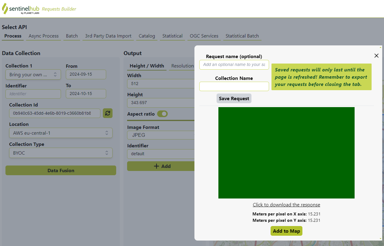
This is the result (all green) when I try to consume ESA Worldcoper
gmilcinski
October 15, 2024, 8:00pm
4
Might it be the chosen area is simply vegetation?
Also, make sure you also use the correct time range, if you use the same time range as Grega’s request you should return back the World Cover data.
1 Like
m_sig
October 17, 2024, 1:01pm
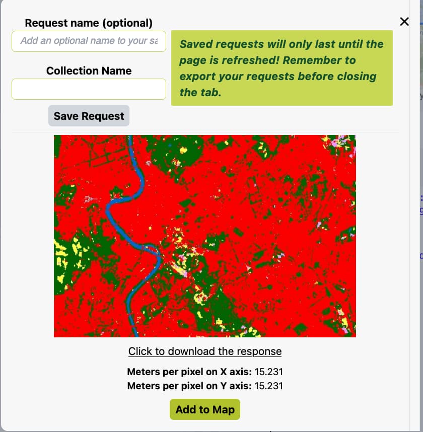
6
Nice. The problem was the time range. Thanks.
system
December 16, 2024, 1:02pm
7
This topic was automatically closed 60 days after the last reply. New replies are no longer allowed.