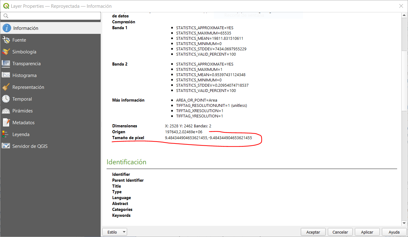
I downloaded a Sentinel-2 image (visible bands + NIR) in high resolution (less than 2500 x 2500 pxls). However, once in QGIS, I noticed that the resolution was 9.48 … X 9.48 … m. and not 10 X 10 m as expected. Is this due to the reprojection of lat / long in UTM? Thank you.
Yep. Sentinel-2 is distributed at 10 meters per pixel in UTM. So if you want to avoid rescaling and reprojection, always download as UTM.
That said, if you are using QGIS, I suggest you try the QGIS plugin:
https://plugins.qgis.org/plugins/SentinelHub/
Ok, but only UTM 3857 is available … and no possibility to delimit an AOI.
Anyway, thanks for the tip regarding the plugin.
Pierre