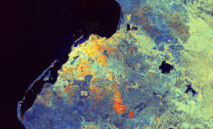
The Copernicus Sentinel-1 SAR satellites currently collect data approximately every 6 days over Africa at a spatial resolution of around 20 m. In cooperation with Geoscience Australia and NASA, we have processed the Sentinel-1 GRD products provided by ESA to CARD4L Normalised Radar Backscatter compliant products. Pipelines were also built to automatically process the data so that African users can gain access to Sentinel-1 data around a day after it is acquired.
Orthorectification and radiometric terrain correction were applied using Copernicus DEM. This analysis ready data is now available for the whole African continent on the Digital Earth Africa Map. The dataset is available in AWS S3, through DE Africa’s OGC Web Services and DE Africa Open Data Cube API. For more details visit the DE Africa page.
On-demand processing is also available. You can order processing of any S1 GRD data using graphical user interface CARD4L tool or our Batch Processing API.
This is the first time that radar data has been produced automatically in a way that meets ARD specifications and fed into a continental data cube.
Luanda, Angola (Sentinel-1 Normalized Radar Backscatter, acquired on March 28th 2019)
