I am using a GeoJSON file of the border of Berlin to clip a SENTINEL-2 L1C image. But when I try to download my image I get the Google Chrome error message:
This site can’t be reached. services.sentinel-hub.com unexpectedly closed the connection.
However, if I draw a basic rectangle or less complex polygon, the download works well. So I assume it has something to do with the file format or the complexity of the polygon.
Hello there,
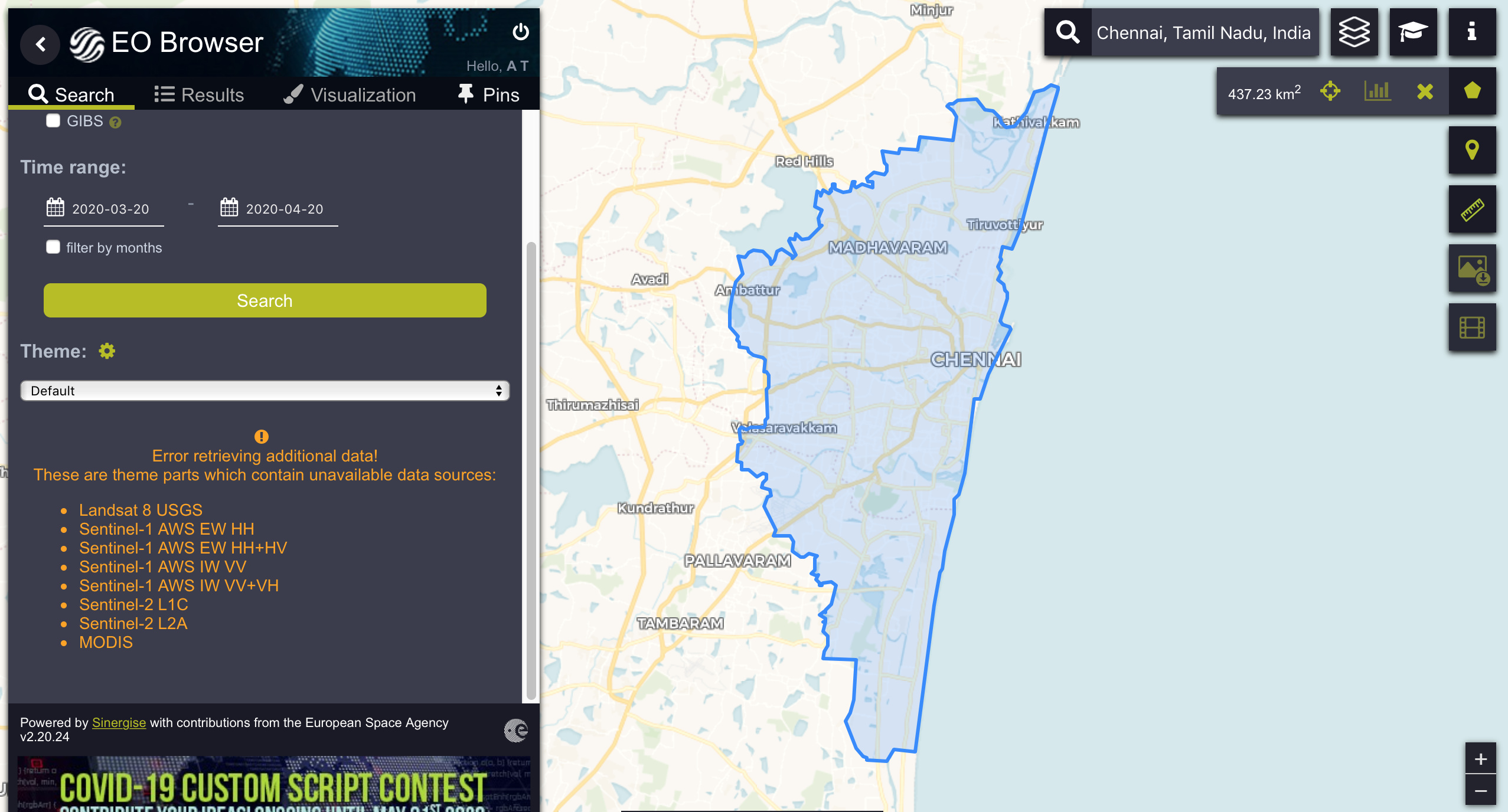
I am looking to download rasters from L1C for Chennai city limits. Used this kms (see image) so that I cover the entire city and avoid the effort in drawing out the polygon accurately. The download process takes much longer and often fails.
Pasted the error that was returned on my last effort.
Error retrieving additional data!
These are theme parts which contain unavailable data sources:
The error shows you that these data sources are currently not available. This can be either a temporary issue, which usually goes away in a couple of minutes, or a problem in your network.