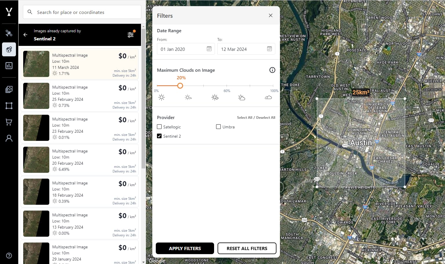
I’m new here and found Sentinel Hub contains multiple APIs
I would like to get list of open data (images list) for a selected area of interest and send time period and maximum clouds on image parameters like the fallowing link.
EO Browser offers a similar interface to the one that you have screenshotted. You can search several open data collections using the application, each individually of course.
If you wish to perform more advanced queries, you can utilise the Catalog API to search the different data collections available. Depending on data collection you will be able to filter by cloud cover and the time range.
Also for your information, you can find the data collections available to you here. Please note, you will need to make separate requests for each data collection. However, you could concatenate the lists into a single response if you wished.
This is up to you. I don’t know enough about your application to answer that.
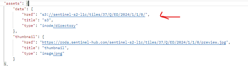
To summarise, Processing API enables you to access imagery for specific AOIs and time ranges with a wide range of processing options. This means you only download the pixels you need and do not need to download a full Sentinel-2 granule.
There are examples on how to do this in the documentation. Please take your time going through the examples and from these you should be able to build what you require.
I’ve gone through the documentation and used Processing API successfully and get the result I wanted.
I’m having an issue now with the retrieving true color PNG image in the same multi-part request with GeoTIFF and metadata json. I’m getting white PNG image.