Hazy satellite image on sea, causes

Hello,

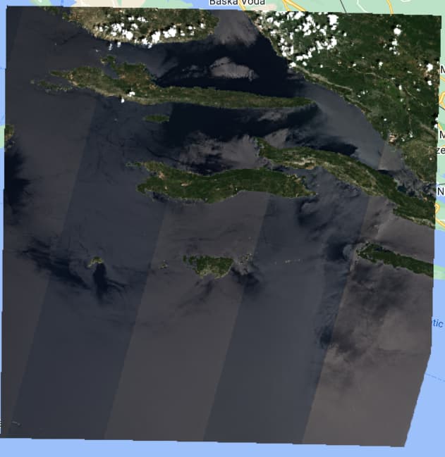
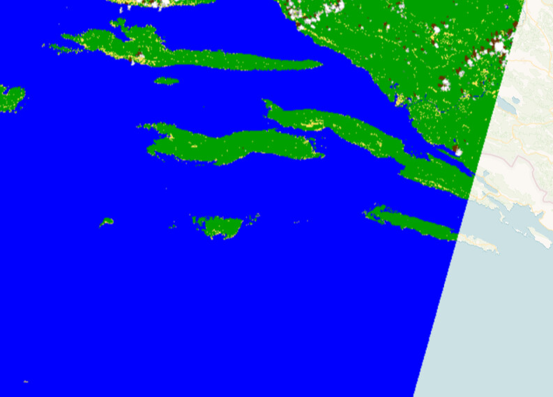
In the example, a Sentinel 2 L2A image (with atmospheric correction applied) was used. Why does the satellite image show only a small part of the sea in true color while the rest of the image is hazy and appears in two different colored bands? How can I mask this so that these pixels are excluded from processing, as they cause false detection?

These are limitations of remote sensing from hundreds of km away, as well as atmospheric correction, which is fine-tuned for land, rather than sea.

And there are no ways we could masked these areas in some way to manage false detection using maybe some normalized indexes or algorithms?

You can use CLM, CLP and SCL bands to do the masking:

how to mask areas using e.g. SCL band if all that hazy area is classified as water?

This topic was automatically closed 60 days after the last reply. New replies are no longer allowed.