I can go on the free version to look and I can get data that is within the past few weeks. I signed up for free 30 day trial and the imagery does not update. Is there something I need to do to access updated imagery?
Hi Stephen, can you be a bit more specific on this question?
Which imagery you are talking about? Sentinel-2, Landsat,…?
How are you accessing the data? Which area are you looking at?
Ideally you would send us the request.
Generally imagery is updated hourly, both in free version as well as in trial. So there has to be something wrong in how the service is used.
Hi I am opening the imagery from sentinel2 in my ArcGIS through the WMS server. I am looking at the Hants Lunenburg counties in Nova Scotia Canada
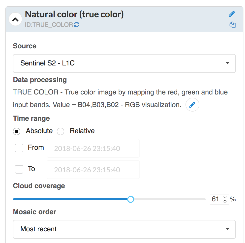
Hi Stephen,
I see you are using default configuration, which is set to show least cloudy data and includes maximum cloud coverage filter:

You can change these settings in Configuration utility, e.g. increasing cloud coverage and changing Mosaic order to “Most recent”:
I have done this for you now so you should be able to see it in ArcGIS as well.
I suggest you check also: