As the Topic described, how to change the MODIS output data’s crs.
Seems like there were not useful infomation about the output data reprojection or it is too obscure in CRS Support. I’ve tried to change the input.data.bounds.properties.crs to my destnation crs and the result seems like incorrect.
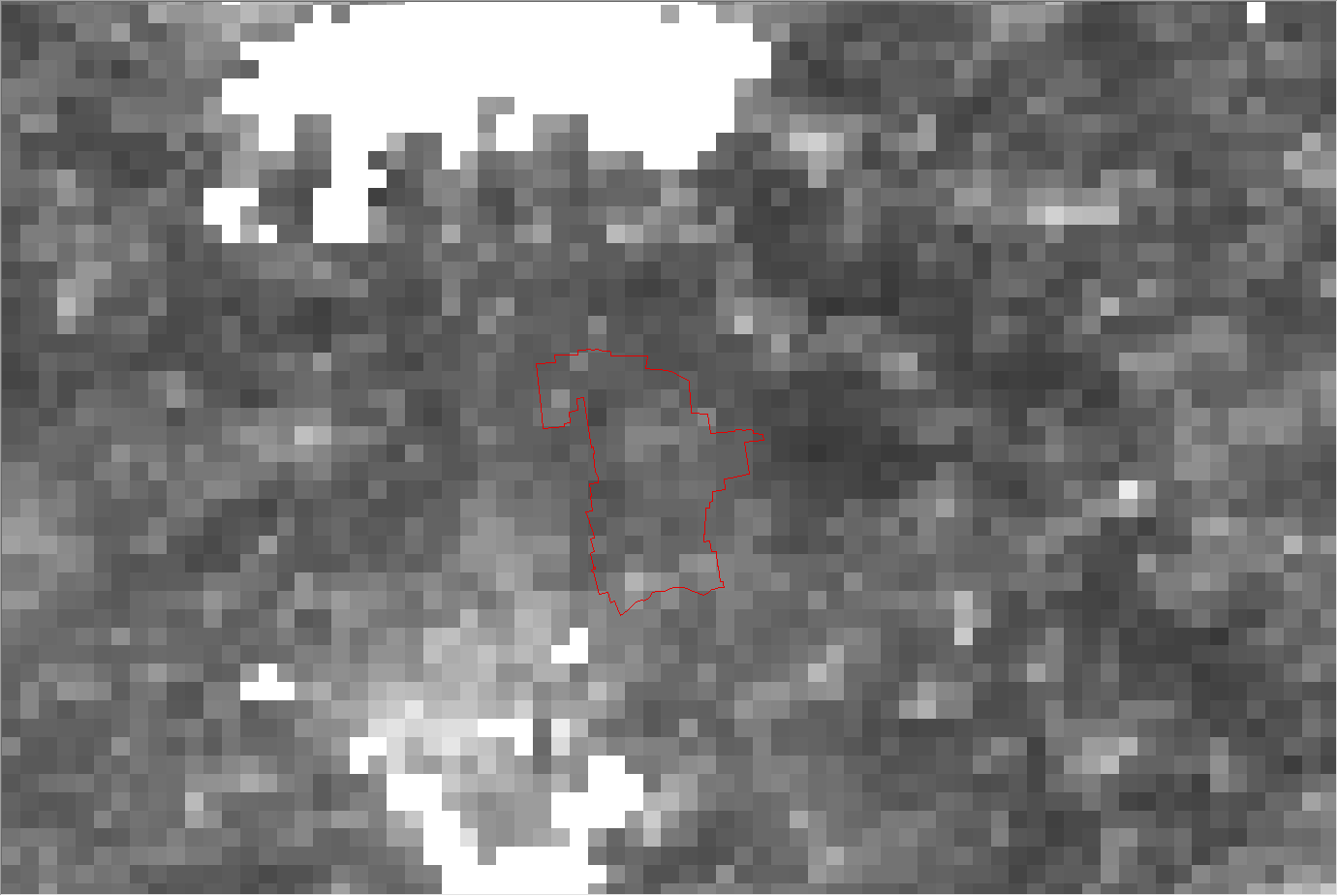
Here is the example.
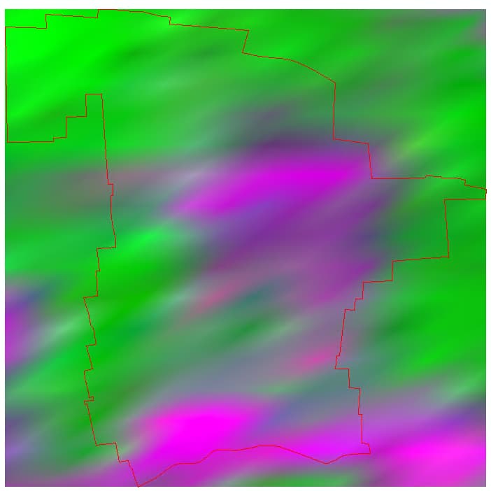
This is the MODIS data of the target area after I set the input.data.bounds.properties.crs to UTM_numberN, the image looks oblique,even I set with the default WGS84, the display effect is not very different.
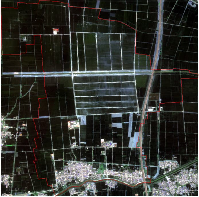
And, as a comparsion I download the MODIS file from USGS in HDF format and reproject to WGS84 with MRT tool , the result looks normal.
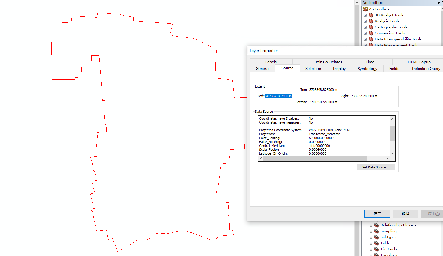
Actually, If I do not set the input.data.bounds.properties.crs associated with the geometry, the api will throw an error, so, I’ve properly set the parameters and and the input geometry is well organized, I can threrefore get the result.