Might it be that it is simply an inaccuracy of the satellite imagery?
Sentinel-2 with 10 meter resolution has positional accuracy of cca 1 px. This blog posts explains it nicely: http://www.cesbio.ups-tlse.fr/multitemp/?p=13112
If you provide some example, eg kml and screenshots, I might me able to comment on that, otherwise not really…
That being said, you are talking abput half a pixel, so not that strange…
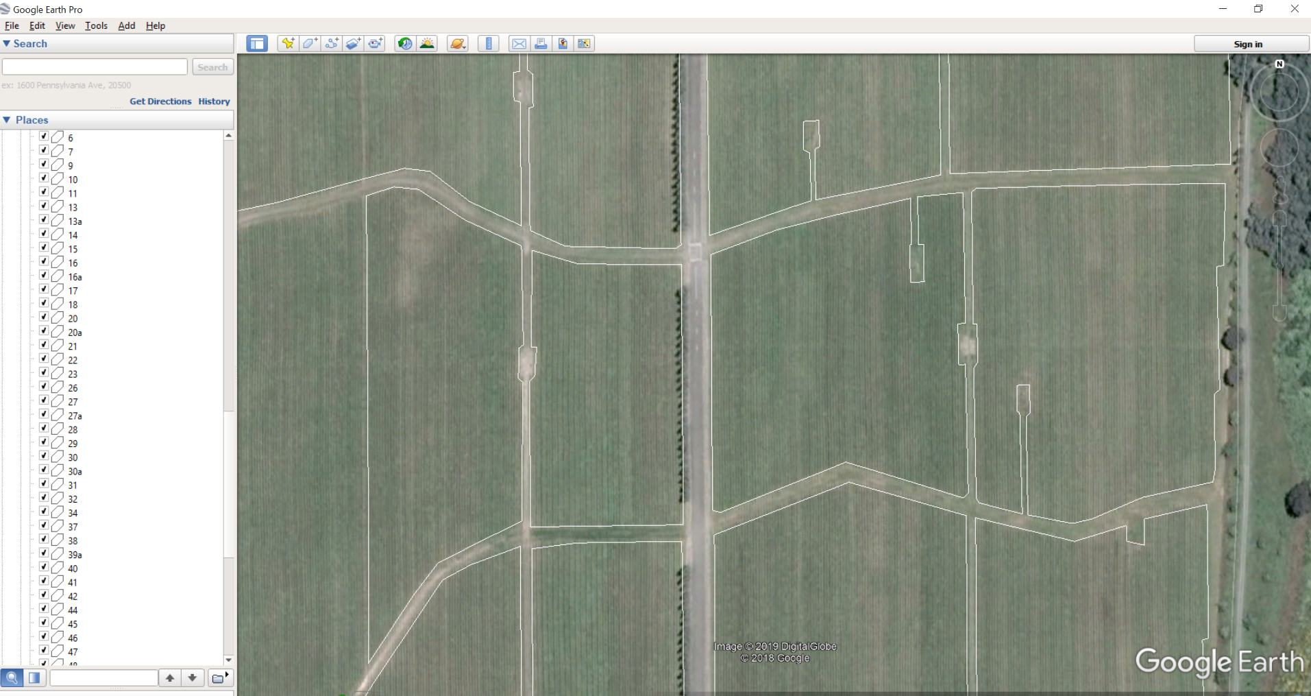
The first is of the google earth desktop. Note that the blocks outlined are at the edges of the field (i.e. NOT going over the roads). I used the blocks outlined as a KMZ.
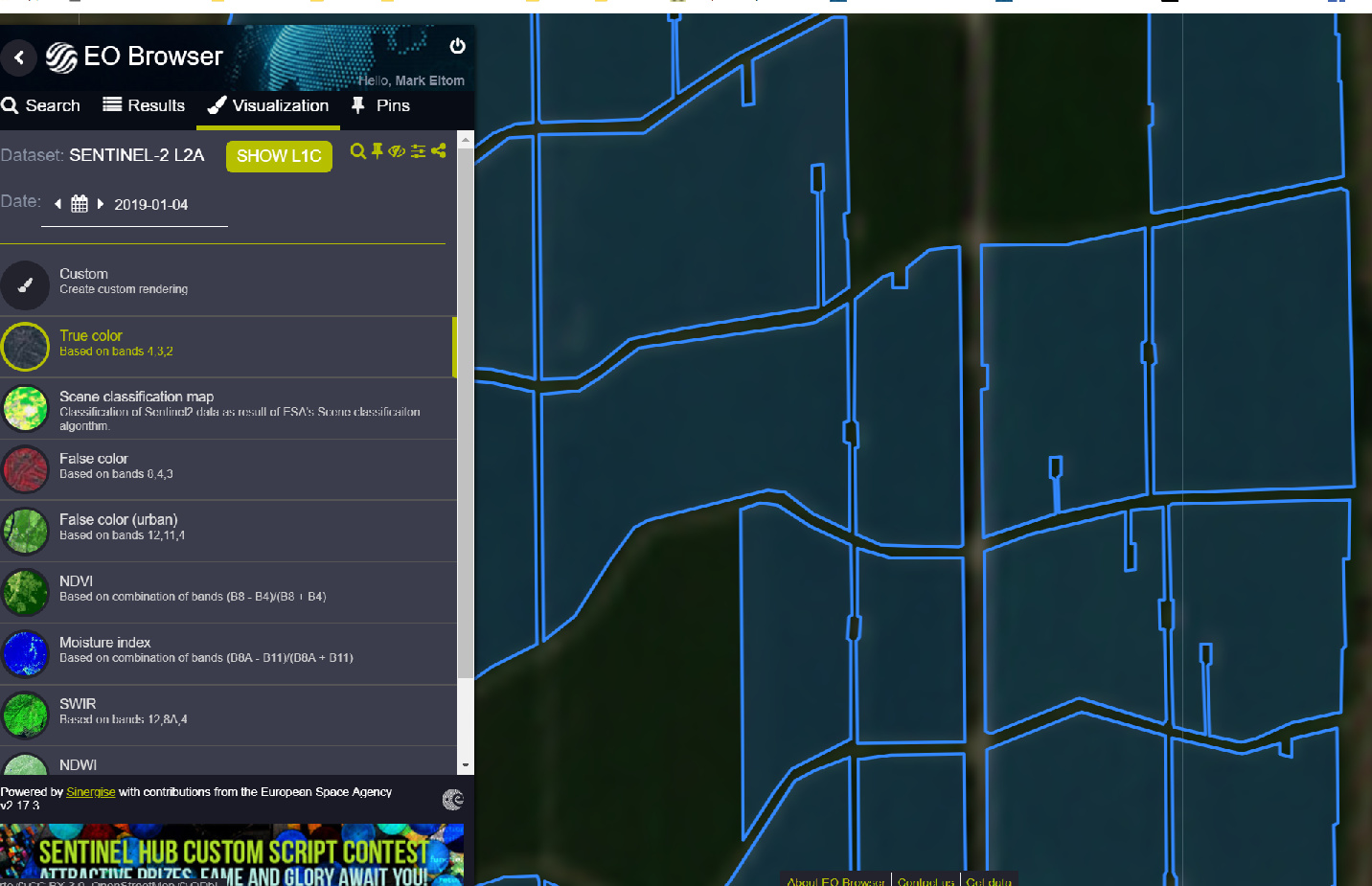
The second is of the EO browser. I uploaded the saved KMZ file from google earth desktop. Note that the outline of the fields is now shifted. I measured it and it is about a 10m shift.
This is really bad for our application (viticulture) as we have frost fans etc and are using NDVI images to inform where to target our management practices. Thus, a false negative will skew everything else!
The geopositional accuracy of Sentinel-2 depends on various things but as the overall accuracy is 0.7 px, so 7 meters, you cannot rely on perfect position.
These problems are usually addressed by creating a “negative buffer”, e.g. not counting the border areas.