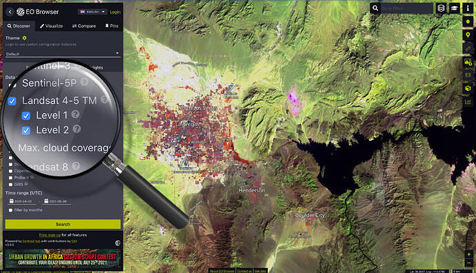
Landsat data within Sentinel Hub has been expanded for more than 30 years by Landsat 4/5 Thematic Mapper ( TM ) data. The Landsat TM sensor, located aboard Landsat 4 and 5, provides 6 spectral bands and 1 thermal infrared band. Global coverage is from July 1982 to May 2012 with a 16 days revisit time. Common uses of the data provided include vegetation monitoring, land use, land cover mapping, and change detection.
We have added both Level-1 and Level-2 data to Sentinel Hub Public Collections.
You can also find them in EO Browser under the Landsat 4-5 TM data source.
For more details see our documentation:
