I think it would be interesting to have a layer with all the global MPAs boundaries. I don’t know if this is a feature of interest for someone else. Something similar to this in green, adding the name of the MPA could be optional:
Hi Emanuel,
Yes it would be interesting to have this layer. However, as I’m sure you can guess if we included every single interesting dataset, EO Browser would quickly become unwieldy and difficult to use!
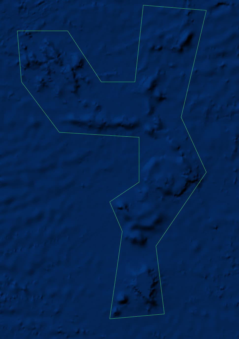
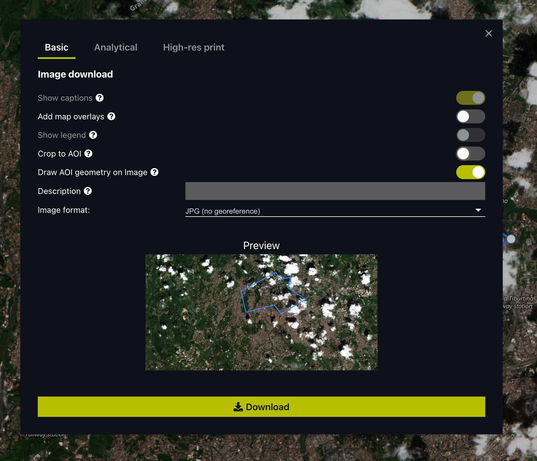
Of course, you can upload a JSON file of the MPAs that you are interested in and when you use the the Download image functionality in EO Browser you can include the outline in the downloaded image like below:
1 Like
This topic was automatically closed 60 days after the last reply. New replies are no longer allowed.