step by step to determine the NDWI and SIPI indices
1 Like
I suggest you check this webinar:

then check:
and
Muchas gracias, así lo haré.
Hola, comienzo seimpre a seleccionar centinela 2, busqueda avanzada y baja nubosidad y luego buscar y la siguiente pantalla queda en blanco. Qué pasa?
Hi @dcrb1001 ,
It could be the area you’re looking at is a cloudy area and there’s no acquisition having a could coverage lower than the Max. cloud coverage threshold set in your request. Please increase the Max. cloud coverage threshold and try again.
If the issue persists, please provide more info about the steps to reproduce the issue so we can pin down the issue. Thank you!
Gracias. Pero he tratado de hacer el proceso en diferentes lugares y diferentes dispositivos, y al cargar, todo se ve en blanco?
Hi @dcrb1001 ,
Could you please provide the request returning blank image in Curl format? Alternatively, please provide detailed information about your request, i.e., bounding box, coordinate reference system, time range, collection, output dimension/resolution, image format, and Evalscript.
Gracias.
Cambie de navegador y ahora no sale la información en blanco. Sale ahora producto no econtrado.
El lugar que busco se llama finaca la martina tenjo, específicamente: Lat: 4,8649682
Lng:-74,1624986
Gracias
Hi @dcrb1001 ,
Are you using EO Browser? Which data collection are you looking for? I tried to search the Sentinel-2 L2A data over your area of interest and there were plenty of data on EO Browser.
As I mentioned, please provide steps to reproduce your issue so we can pin down the issue.
En el navegador de google, abro en mi gmail el correo que me envió sentinel, donde me dan el link para acceder al EO Browser: Sentinel Hub EO Browser. Alli tengo abierta mi sesión. Allí busco la finca Martina Tenjo, escojo sentinel 2, activo busqueda avanzada y bajo el cloud coverage y le doy buscar. Posteriormente abre una nueva página en blanco. En el caso de Mozilla, dice producto no encontrado. Situación que no ocurre en google earth, donde ya encontre la finca y pude dibujar un polígono allí.
Hi @dcrb1001 ,
Did you check out the link I provided? It links to the area you provided and you can find plenty of Sentinel-2 data.
No I cant see anything, with your link.
Hi @dcrb1001 ,
Could you make a screenshot of what you saw with the link?
Good day. I already get images, but they really come out very blurry and checking if it was my internet, it really isn’t. Obviously when we apply RGB, everything looks pixelated. I attach a video link:
Thanks
Hi @dcrb1001 ,
This is the native of resolution. The Red (B04), Green (B03), and Blue (B02) bands of Sentinel-2 have a resolution of 10 m. If higher resolution is required, you may need to consider commercial data such as PlanetScope, SkySat, Pleiades, SPOT, or WorldView.
Note that only PlanetScope is the only constellation which has systematically acquired data around the world daily. Other constellations acquire data only if it is tasked. Please check the data availability before purchasing a quota.
waoo
In the video you sent me you can see a much better resolution. In this case, the methodology I have is to work with sentinel 2, how is it done?
In the video the high resolution images come from Google Earth and it is not using Sentinel-2 images. Also, it only updates once in a while.
If you need high resolution images of your area of interest and time of interest, you can only go with commercial data I mentioned above.
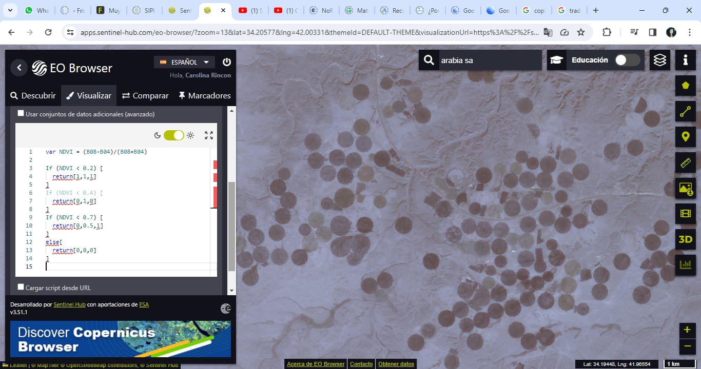
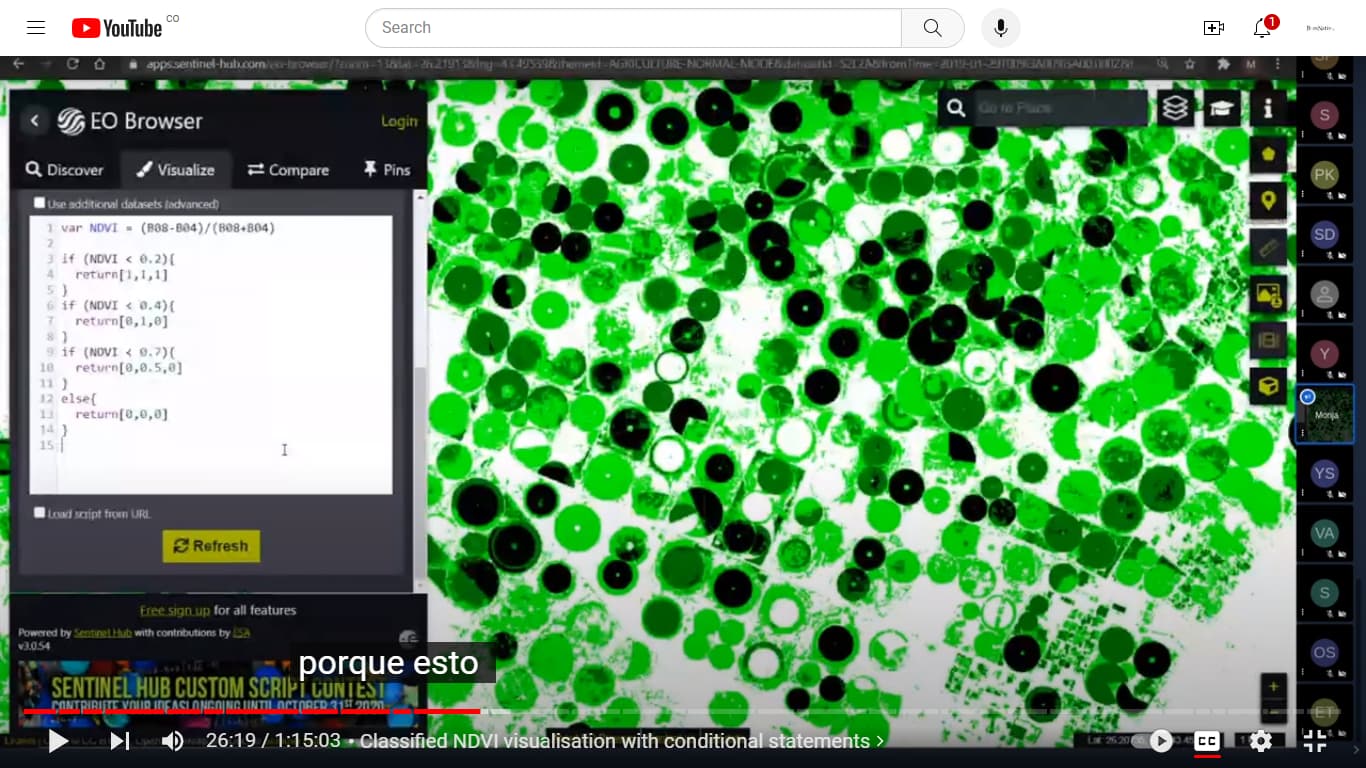
Thank you for all of your help. I’m trying to replicate the entire procedure they developed in the first video you sent me. However, when modifying index colors the system does not make the change and I think I have the same code.