Reprojecting images sometimes introduce some offset errors. Is there a reason why you are not using EPSG:25835 in your Sentinel Hub Request? Referring to this page, it seems to be identical to 3067.
Perhaps you could try this as your input and output projection into Sentinel Hub and this may reduce the offset error.
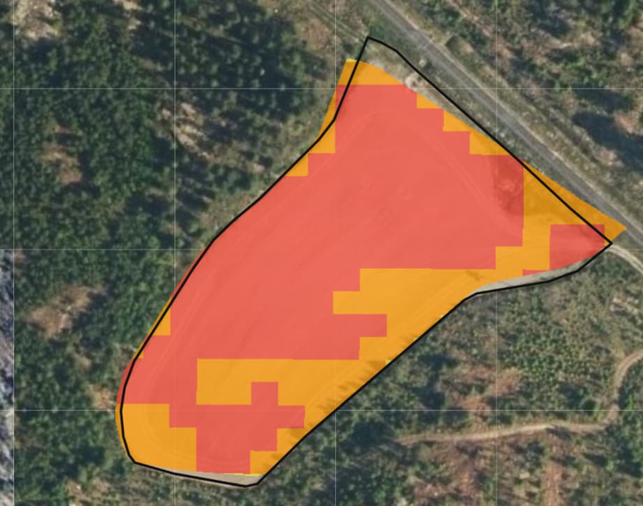
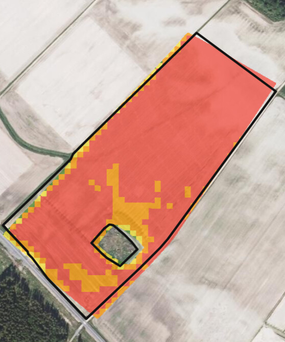
Thank you, I got the process API to fetch images with EPSG:32635. There is a slight offset still on the image. I think it’s a bit better now, though.
For some reason I can’t put the bounding box on the API call with geometry. get this error: ‘TypeError: Cannot read properties of undefined (reading ‘opengisUrl’)’.
Can i use the EPSG:32635 bounding box in the script? These are my params which work:
Hi, can you try making the same request but using Process API? You can quickly do this in Request Builder where you can specify your AOI in whichever CRS you require (as long as it is compatible with Sentinel Hub).
Then we can compare the offset. it would be helpful if you could visualise this too.