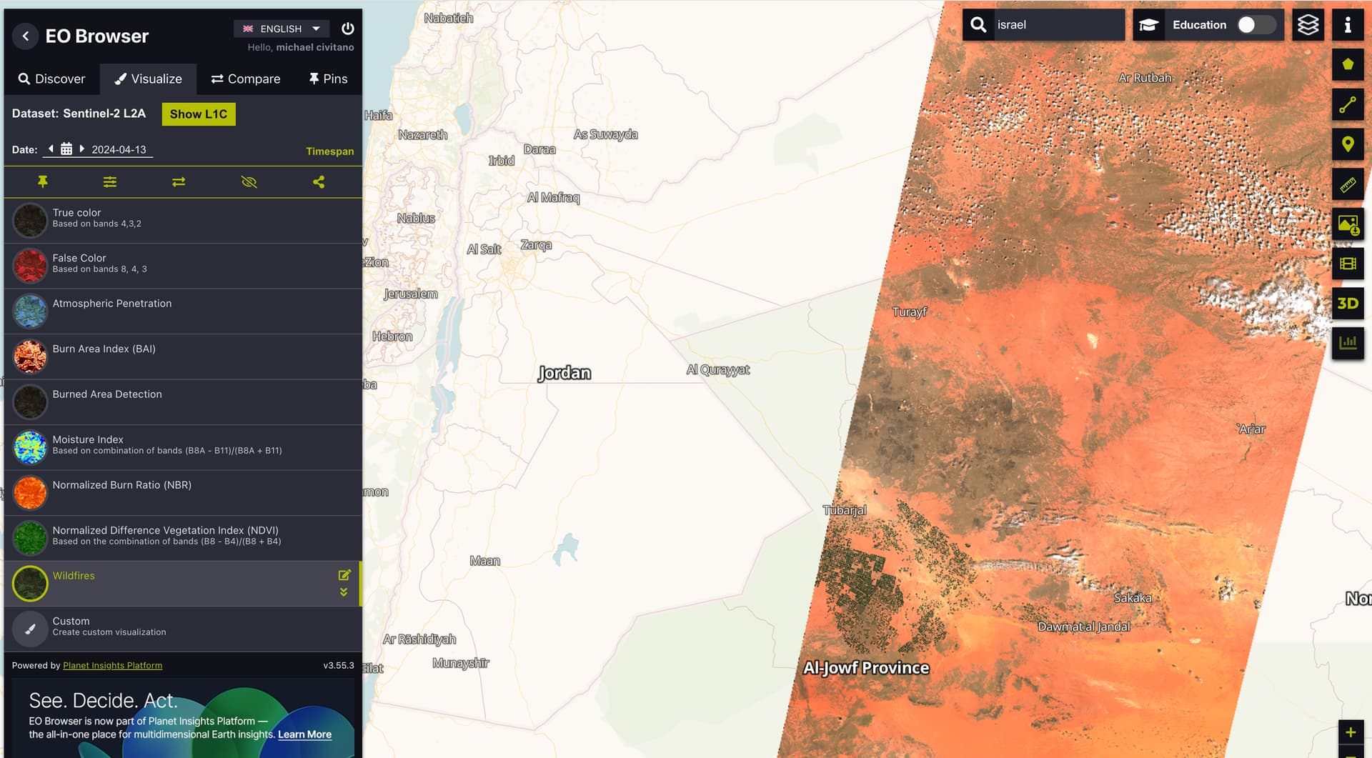
Having previously used this for days where imagery was captured, it seems there is maybe an issue (or user error) to where when I select a date of imagery that was detected (in this case Iran, April 13th 2024) it provides only a sliver of the “wildfire” detection image and none others when selected.
This seems to be an issue with other areas of the globe as well with only strands of actual SAT imagery showing through. Any fixes for this?
What you are seeing is normal and not an issue. The two Sentinel-2 satellites are orbiting our globe, capturing images of the surface as they go along. They are not able to image the entire globe everyday and have an approximate 5-day revisit time. I find this animation to be a good way to picture how these satellites acquire data.
What you are seeing in EO Browser (your screenshot) is a single orbit: the path along which the image was acquired. In order to see more coverage, you can use the “Timespan” button and set a date-range: this will allow you to see data over a larger area, but different areas will have been imaged on different dates. Or, if you are interested in the area that is not imaged, you can simply go through the dates to find a day when a Sentinel-2 satellite acquired an image over that part of the world.