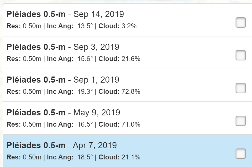
From what I can tell, all the observations I see in the geostore which don’t show up with the API have cloud coverages of over 15%. I tried to use the “maxCloudCoverage” parameter as for PlanetScope ordering, but it doesn’t seem to make a difference.
Is there a 15% cloud coverage filter being applied behind the scenes/how can I order the scenes with high cloud coverage which don’t show up with the API?
Hi @barrett,
can you perhaps provide the AOI so that we can look into it?
In general however Airbus processes the data from the same acquisition to different what they called “processing levels” and we only ingest the products at processingLevel: SENSOR. This is because:
processingLevel This value could be equal to SENSOR (images which meet Living Library criteria) and ALBUM (images that do not meet Living Library criteria in terms of Incidence angle and Cloud cover. They can not be streamed on the fly but you will soon be able to order them for delivery in your private workspace)
So we only focus to SENSOR for the moment.
In addition to the above, I imagine that Airbus also exposes some data on GeoStore, that are not even available in Living library.
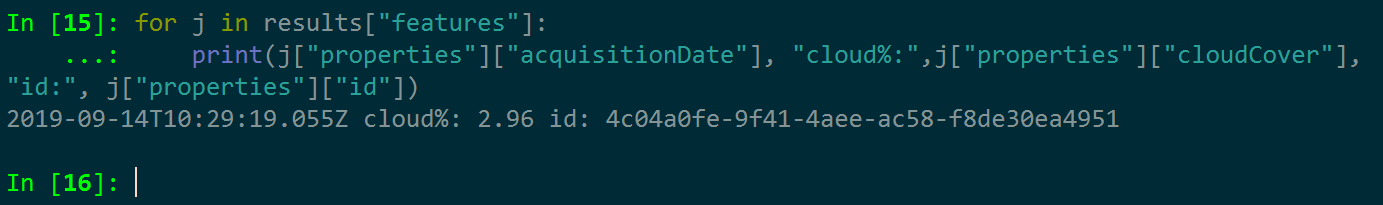
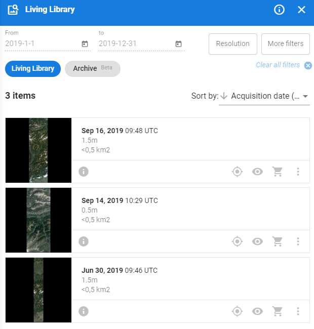
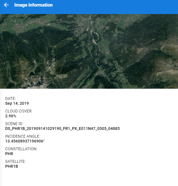
I checked the Airbus Living Library for Pléiades products from 2019 and there is indeed only one dataset from 14 September 2019, which is the same one our API returns. The first and last results on the list are SPOT imagery.