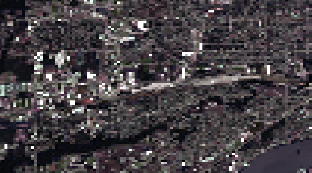
I downloaded a 32-bit GeoTiff Sentinel-2 image from 08/08/2016 with which I plan to calculate NDVI in ArcMap, but the resolution is awful. I layer stacked bands 2, 3, 4, and 8 which I had thought are 10m resolution but the image is far from clear. I used the Composite Bands tool to stack but am not sure why even after downloading the image looked so bad.
I wanted to know what to do different or preprocessing steps I may have missed? I have access to ERDAS Imagine too since ArcMap is not great for raster data.
Did you check the actual resolution of each pixel? A simple way to do this is to zoom into a single pixel and use the measure tool to see how big it is (edge to edge of the pixel). Otherwise if ArcMap is not working correctly you can do the same in free QGIS using the Virtual Raster function (Raster>Miscellaneous>Build Virtual Raster; to produce a true colour image from B2+B3+B4) or just use the Raster Calculator to generate NDVI.
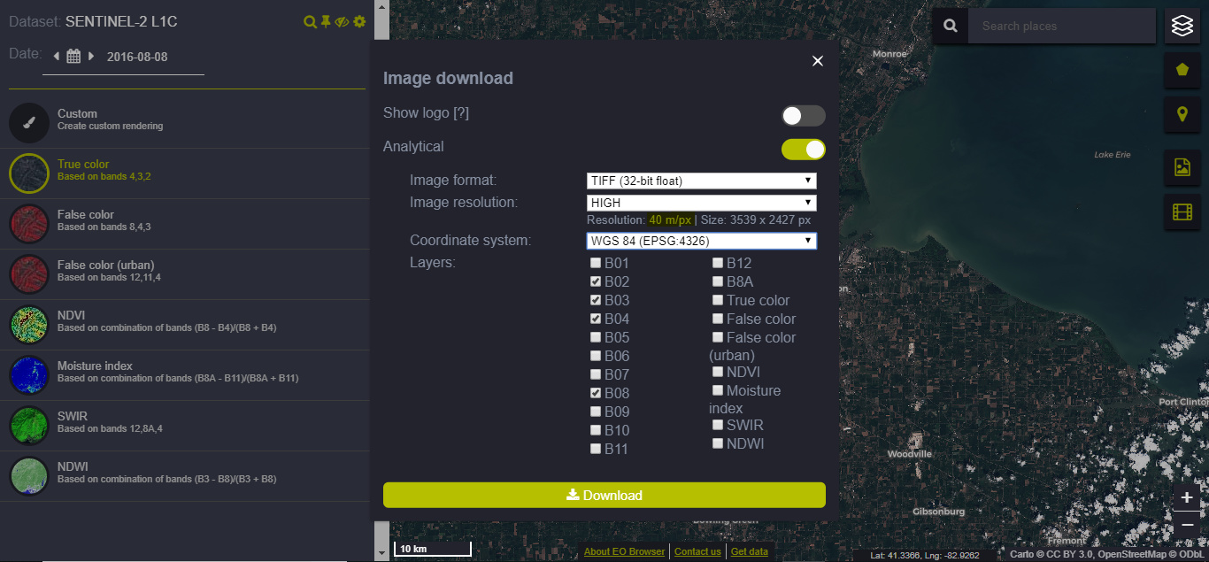
Yes, here are my steps: I located a Sentinel-2 L1C image in the EO Browser, clicked Visualize, then the Download image button, switched on Analytical mode, selected Image format: TIFF (32-bit float), Image resolution: HIGH, and checked B01 through B8A to download just in case I would need them in the future. I right-clicked to extract all contents from the zip folder, and then in ArcMap with the Composite Bands tool, I selected B02, B03, B04, and B08 to layer stack in ArcMap since I want to calculate NDVI with those bands. I measured the pixel resolution in ArcMap and it is about ~57 or 60 m.
I saw that before I downloaded, it said high resolution is 40m/px, but I read that bands 2, 3, 4, and 8 are 10m/px for Sentinel-2. I wanted to know if there is a way to get higher resolution imagery (10-20 m/px)? I was hoping to use Sentinel instead of Landsat imagery due to its higher resolution and potential for more accurate NDVI calculation.
I see the problem. EO Browser supports an export of up to 5000x5000px. As you try to download very large area, it adapts the resolution to 40m.
Try exporting a smaller area until you can set high as 10m.
You can do many such exports if you need larger area
Okay, thanks for the info! I zoomed in more and exported another image that is even better than 10m/px. So I’m guessing the image resolution is not accurate in the Browser as it states 10m/px and is there any way to set the px resolution?
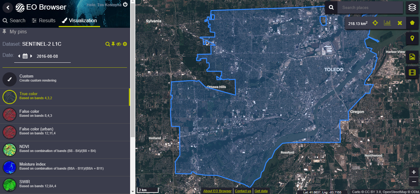
I need the entire city of 84.2 sq miles, so do you recommend exporting a bunch of small areas and piecing them together even though I am essentially guessing at the resolution each time?
Okay, I tried that scale that and the resolution is still not better (33 m/px). Will I just not be able to get 10 m resolution on EO browser unless it’s a very small area?
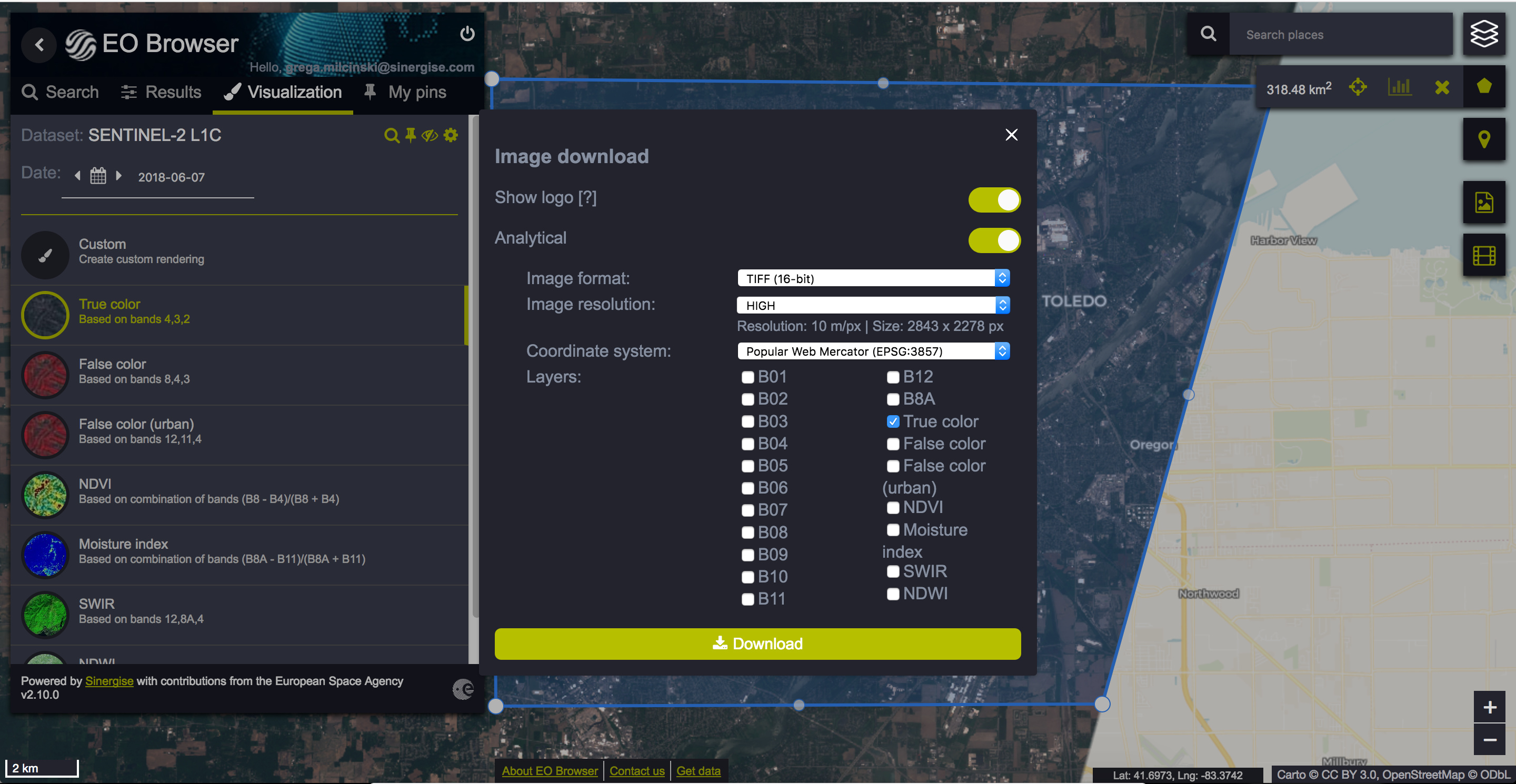
I wanted to know how I am to know if a side of the rectangle may exceed 50 km without a measurement tool in the EO Browser? I tried using a kml for my study area which is at most 17 km by 20 km measured in ArcMap with each side of the rectangle being less than 50 km. The exported image resolution is still not close to 10m/px and is around 33m/px. I appreciate your help but somehow I am still having difficulty. Please let me know if you can send steps or suggestions to achieve 10m/px resolution image for my study area, which is included in the attached photos and is measured at 218.13 sq km? Thank you.