Hey,
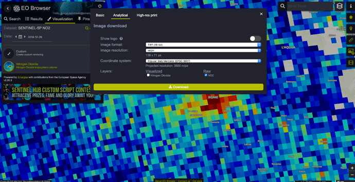
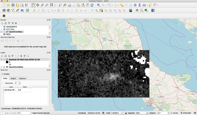
I have download the NO2 data of a particular day. when I uplod the image (tiff 32bit) into ArcMap it comes into RGB bands. which I don’t need it. I have to further process the file. How can I be able to import NO2 file into Arcmap without RGB bands. like we use OMI data as a NC file into Arcmap.
Thanks.

