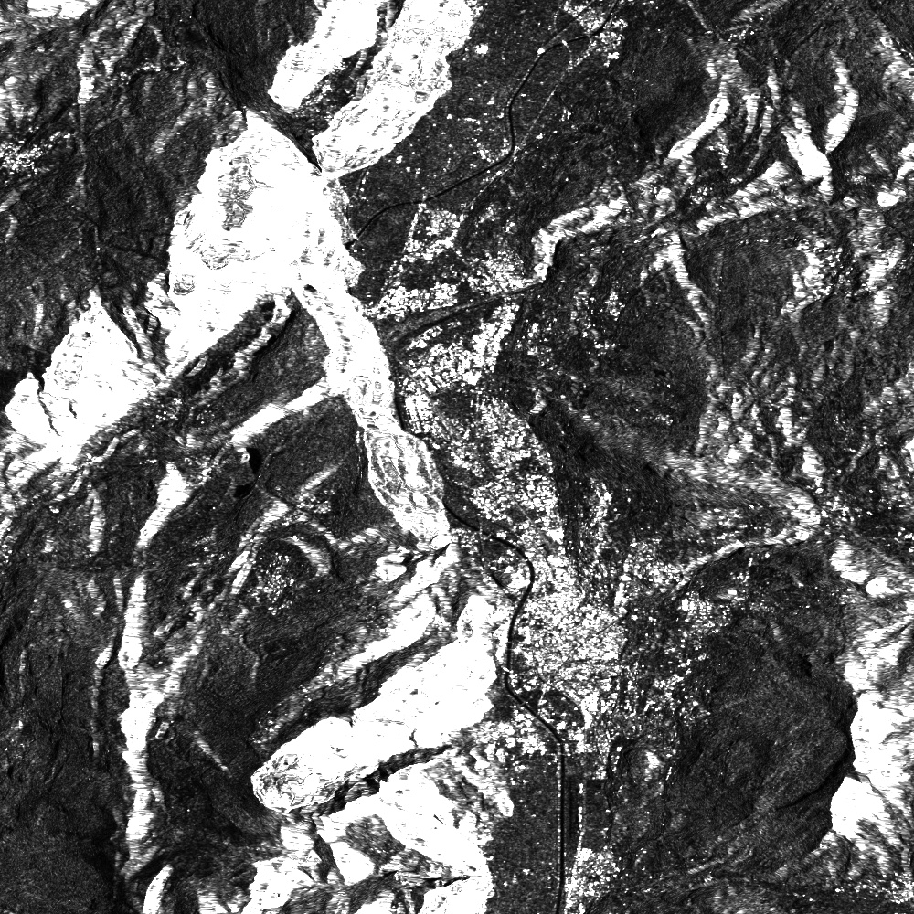
We are pleased to announce that for Sentinel-1, radiometric terrain correction (RTC) is now available along with other useful output bands.
A summary of what is new:
- RTC can now be enabled by setting GAMMA0_TERRAIN as the value of the backscatter coefficient in your Process API request. Alternatively, select this in your layer configuration in your dashboard.
- The local incidence angle for each output pixel is now available as an output band (requires orthorectification).
- The normalized scattering area as computed by RTC is now available as an output band.
- The radar shadow mask which provides an estimate of pixels which are in/near radar shadow is also available.
For more detailed information, see the S1 docs: https://docs.sentinel-hub.com/api/latest/data/sentinel-1-grd/#available-bands-and-data
Happy processing!