If you are using WGS84 and specifying the resolution in degrees, it is normal in northern and southern latitudes that the pixels are rectangular since the projection stretches the longitude (East-West direction) more and more the further you go away from the equator.
If your area of interest fits into one UTM Zone, try specifying this zone as the CRS. This should give you square pixels. Otherwise if it doesn’t fit into an UTM Zone, you can also use EPSG:3857
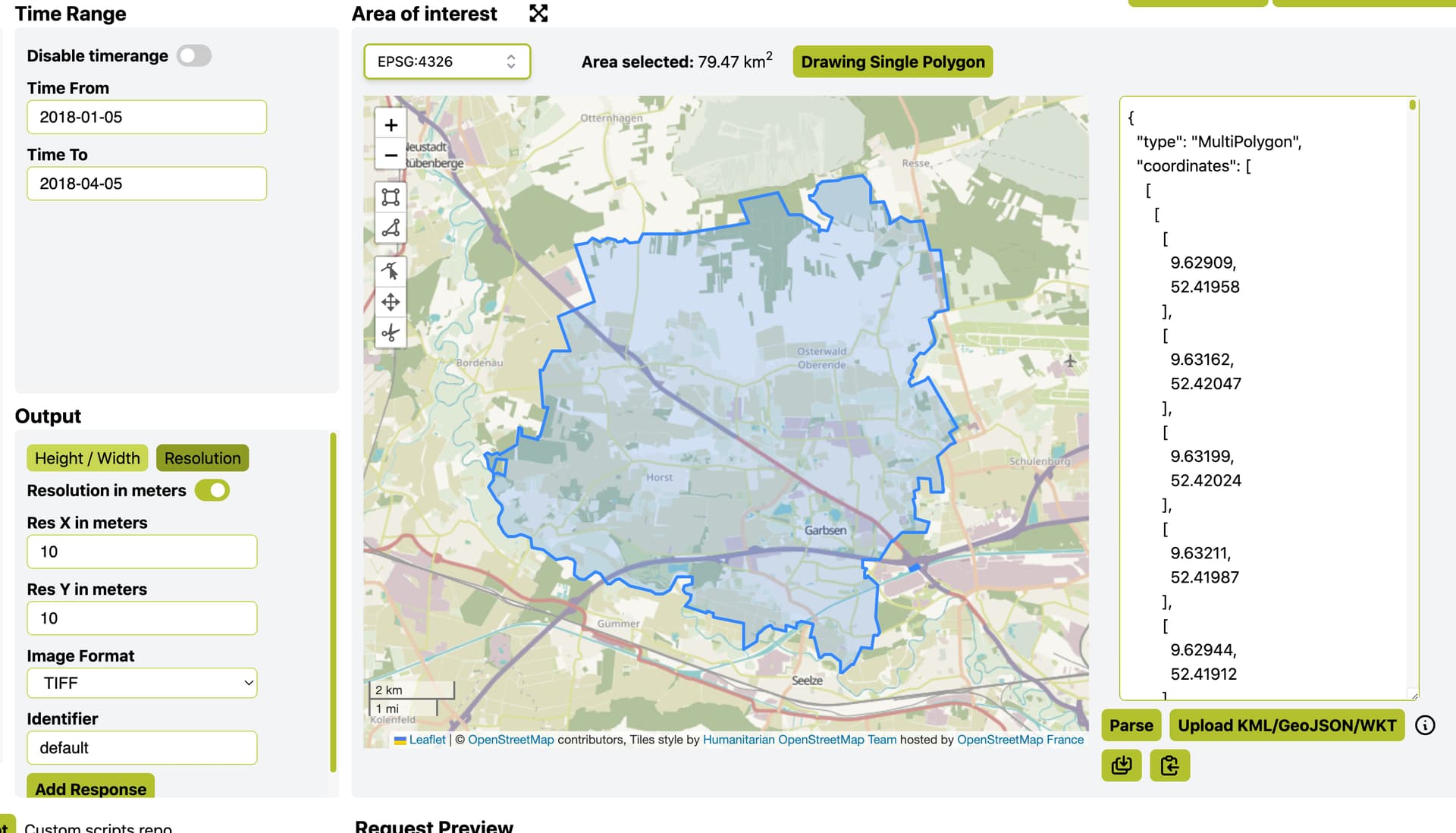
Based on your suggestion. I found the UTM zone of my area and set the CRS to 32632, but I still get rectangular pixel. This will mean my resolution is much lesser then 10m ( Pixel size in QGIS shows: 10.0099341393027057,-9.999654379028104501)
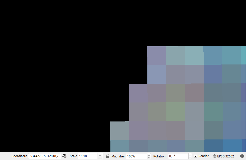
Did you remember to set the map CRS in QGIS to UTM as well? Your pixels are very close to 10 by 10m, with that you can trust the pixel size in QGIS. So the data should be square and if it doesn’t display it like that it is only because of the projection in QGIS.
Yes, the CRS is set to UTM 32N as well. It is weird. Another stupid question, I am aware the project might change the pixel size a bit, but why is it -9.99 and not 10 m in the QGIS pixel value
Thanks @jonas.viehweger .That is great, i was looking at the properties of the .tiff file in QGIS and it showed 32632, I did not check the bottom epsg parameter. Thanks!