The example process_request notebook says:
“The bounding box in WGS84 coordinate system is [46.16, -16.15, 46.51, -15.58] (longitude and latitude coordinates of lower left and upper right corners). You can get the bbox for a different area at the bboxfinder website.”
and is used with BBox(bbox=betsiboka_coords_wgs84, crs=CRS.WGS84)
Tried using bboxfinder.com/ as given in the process_request notebook however that does not seem to give any sensible values. The values used in the process_request notebook is [46.16, -16.15, 46.51, -15.58] while bboxfinder gives almost same values as lat/long in its Box section. Also there is no way to search for lat/long to immediately spot your area or satellight view which makes using this quite difficult.
Any suggestions on how to get this field coordinates?
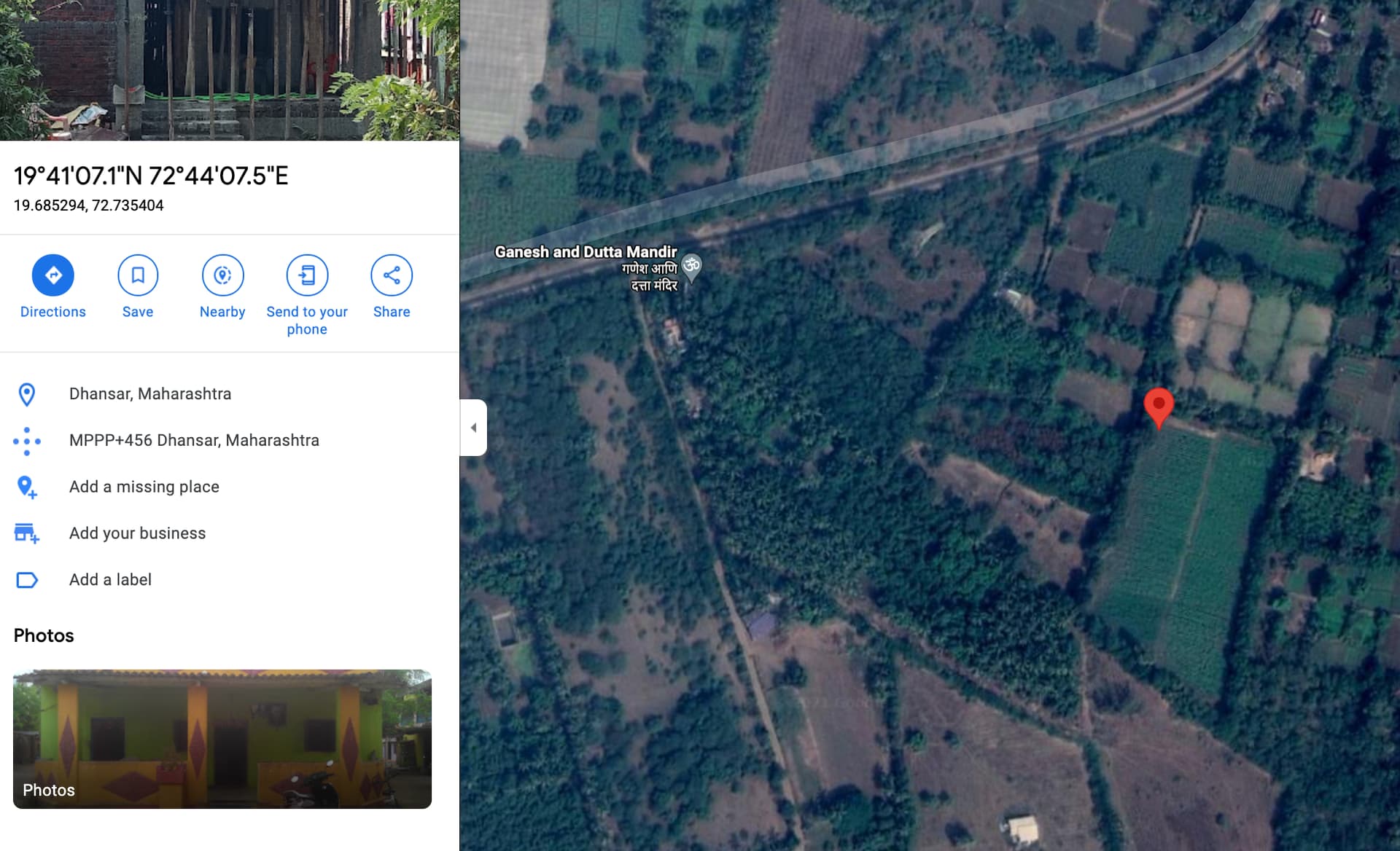
Google maps coordinates are already in WGS84. You can also use EO Browser to search for coordinate pairs in the search bar top right. Here is an example of a recent Sentinel 2 image centred over the coordinates you mention.
For your field of interest to be queried using Sentinel Hub you need to define a box that covers the field and that is represented by latitude and longitude pairs. For that there are many ways of defining this box: you could note the coordinates of 2 successive pins in Google Maps, use bboxfinder as you mention, or use our Requests Builder tool that builds Sentinel Hub requests for you (select the options you need and select sh-py under the Request Preview section).
In your specific case, I found the following using google maps:
Thank you so much! Was struggling with this for many hours today as well. After entering your coordinates in process_api example notebook, it seems the field is too small to be analyses by sentinal-2.
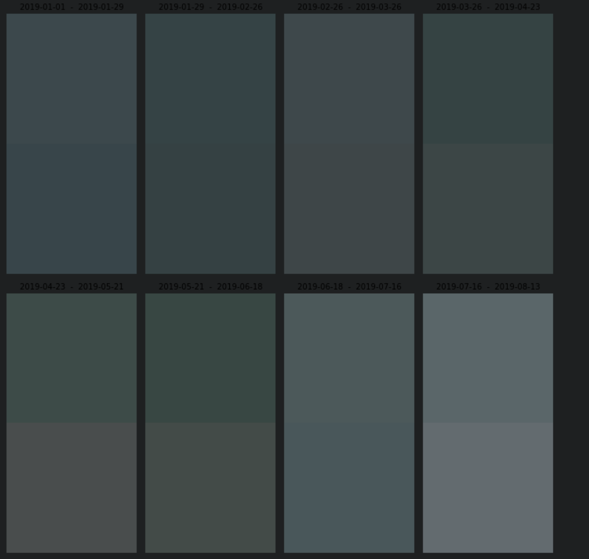
Here is a screen shot of a few time-series images:
The resolution of Sentinel-2 images is 10m. For small fields, as you noted, this may be too coarse.
Sentinel Hub offers access to higher resolution commercial images such as PlanetScope, Pleiades, SPOT or WorldView. You can check the characteristics with the provided links. At the bottom of our pricing page you can access information about the costs of acquiring such data.
If you want to do pan-sharpening, you will need higher-resolution imagery for your pan band. Sentinel-2 doesn’t provide a high-resolution panchromatic band.